
Plane table surveying is a fundamental technique used in land surveying that has been around for centuries. This method involves using a special instrument called a plane table, along with other tools and techniques, to accurately measure and map out geographical features and land boundaries. With its simplicity and versatility, plane table surveying has continued to be a preferred method by surveyors all over the world. In this article, we will delve into the history and principles of plane table surveying, its applications, and the equipment and techniques involved. By the end, you will have a clearer understanding of the important role that this surveying method plays in the mapping and development of our world.
Table of Contents
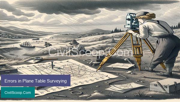
Errors in Plane Table Surveying
Plane table surveying is a traditional method of surveying that involves the visual measurement of distances and angles using a flat table and a surveying instrument. While this method is reliable and widely used in civil engineering projects, there are certain errors that can occur during the surveying process. These errors can lead to inaccurate measurements and affect the overall quality of the survey. In this article, we will discuss some of the common errors in plane table surveying.
1. Human Errors
One of the most common errors in plane table surveying is human error. This can occur due to the lack of proper training and experience of the surveyor. For example, the surveyor may incorrectly sight the instrument, read the angles or misinterpret the readings, resulting in incorrect measurements. Inaccurate marking, wrong recording, and incorrect use of equipment are also common human errors that can affect the accuracy of the survey.
2. Instrumental Errors
Another type of error in plane table surveying is instrumental error. This can occur due to the malfunctioning of the surveying instrument or its incorrect calibration. This error can be reduced by regularly calibrating the instruments and using them according to the manufacturer’s instructions.
3. Atmospheric Errors
Atmospheric conditions, such as temperature, humidity, and pressure, can also affect the accuracy of plane table surveying. These conditions can cause the instrument to expand or contract, resulting in wrong readings. To minimize these errors, surveyors should conduct their surveys in favorable weather conditions and make necessary adjustments to the observations.
4. Levelling Errors
Levelling is an essential part of plane table surveying, and errors in levelling can lead to inaccurate measurements. Uneven base or a tilted table can cause the instrument to deviate from the horizontal plane, resulting in incorrect readings. To avoid these errors, the surveyor should ensure proper leveling of the table and use a stable and level base for the instrument.
5. Parallax Errors
Parallax errors occur when the surveyor’s eye is not perfectly aligned with the line of sight on the instrument. This error can be minimized by proper positioning of the surveyor’s eye and using crosshairs in the instrument’s eyepiece. Using a reflecting mirror can also help to eliminate parallax errors.
6. Topographic Map Errors
The accuracy of a plane table survey also depends on the quality and accuracy of the topographic map used. Errors in the map, such as incorrect scale, misplaced or missing features, can lead to incorrect measurements. It is essential to use an accurate and up-to-date topographic map for reliable survey results.
In conclusion, while plane table surveying is an effective method for determining horizontal distances and angles, there are several potential sources of error that can affect the accuracy of the survey. To minimize these errors, surveyors must be properly trained, use accurate instruments, conduct surveys in favorable conditions, and carefully analyze and correct the observed data.
Conclusion
In conclusion, plane table surveying is a method of surveying that has been used for centuries and is still valued for its accuracy and efficiency. Its simple yet effective approach makes it suitable for various types of terrain and has been essential in the development of modern infrastructure. With the advancement of technology, modern plane table surveying techniques have become more precise and time-efficient. However, it is still crucial for surveyors to have a thorough understanding of the basic principles and techniques of plane table surveying to ensure quality results. As technology continues to evolve, the use of plane table surveying will likely continue to play a vital role in various fields, making it an essential skill for any aspiring surveyor. Overall, the practice of plane table surveying remains